cosermap logo
Local Weather
7-Day Forecast
Show Local Weather
Loading...

love chunibyo other delusions seta river bridge

Love, Chunibyo & Other Delusions!

Osaka

Episode
Ep. 2
Time
10m 27s
love chunibyo other delusions seta river bridge
  • Nearest Station: Keihan Ishiyama-Sakamoto Line: Karahashi-mae Station
  • Walk: 18 minutes on foot
  • Best time to visit: Late afternoon on a clear day for wide river views similar to the anime
  • Crowd level: Usually quiet
  • A distant establishing shot shows the Seta River and bridge area in Episode 2 of Love, Chunibyo & Other Delusions! under a quiet everyday atmosphere.
  • This shot uses a distant view of the Seta River and its bridge as a transition, shifting the story from the characters’ lively yet awkward interactions into a calmer rhythm. In Episode 2, Yuuta is trying to escape the embarrassing memories of his former chuunibyou phase, yet Rikka keeps pulling him back into her world of fantasy, and the series often uses city and riverside scenery like this to settle the mood between those emotional swings. Rather than focusing on a character, the frame emphasizes the everyday stage of their lives and the quiet feeling of adolescence caught between avoidance, confusion, and faint expectation. The real-life location is the long-view angle of Seta River Bridge in Otsu, Shiga, and the anime captures the width of the river, the horizontal line of the bridge over the water, and the open feeling of the surrounding low-rise urban landscape with strong recognizability. In person, the easiest matching points are the bridge proportions, the shape of the riverbanks, and the placement of the background buildings, though the anime simplifies utility wires, railings, and some roadside details for a cleaner composition. Signage, barriers, and other road fixtures are more noticeable on site, and the view can also differ depending on camera angle, season, weather, and tree growth. Overall, it is a fairly accurate landmark-style background shot and a good spot for anime pilgrimage comparison using maps and Street View.
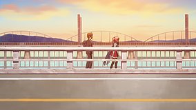
Can I recreate the same wide bridge view from a public place?
Yes. The riverside roads and bridge-area sidewalks around the Seta River are public and suitable for wide-angle comparison shots, but use caution near traffic.
Is Google Street View useful for matching this Episode 2 background?
Yes. Street View is helpful for checking bridge proportions, riverbank direction, and nearby buildings, though exact framing may need a slightly different on-foot vantage point.
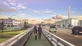
Are there any facilities nearby for a short anime pilgrimage stop?
Yes. The bridge area is close to local roads, convenience stops, and stations in the Ishiyama–Seta area, making it practical for a brief visit rather than a full-day destination.

© 2026 Coser Map. All rights reserved.