cosermap logo
Local Weather
7-Day Forecast
Show Local Weather
Loading...

shirobako matsutei

SHIROBAKO

Tokyo

Episode
Ep. -
Time
-
shirobako matsutei
  • Nearest Station: Nishi-Ogikubo Station (JR Chuo Line / Chuo-Sobu Line)
  • Walk: about 12 minutes on foot
  • Best time to visit: Late morning or early afternoon on a clear day for matching street visibility
  • Crowd level: Usually quiet
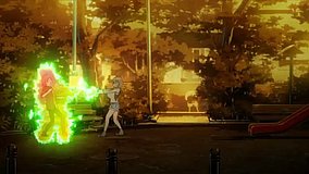
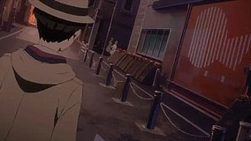
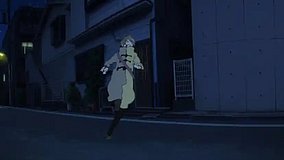
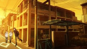
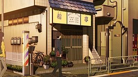
  • A quiet neighborhood street near Matsutei is shown as an atmospheric establishing shot in SHIROBAKO.
  • This moment does not focus on a specific character, but instead uses a neighborhood street view to convey the everyday atmosphere of the Musashino area. In calmer parts of the story, SHIROBAKO often uses transitional shots like this to let viewers feel the city backdrop surrounding the characters’ lives and work. Between the pressure of anime production and constant human interaction, the image creates a brief sense of calm, making the emotions before and after the scene feel more grounded and realistic, as if the characters are collecting their thoughts before the next task. The real-world match is a street near Matsutei in Suginami, Tokyo, and the road alignment, building placement, and corner perspective are all very close to the anime frame, showing how faithfully the staff captured the district’s outline. In real life, signs and storefront details are more complex than in the anime, where text is often simplified or altered, and the location may also differ over time due to updated signage, renovated facades, utility lines, or parked vehicles. Comparing the frame with Google Street View makes it especially easy to see how accurately the building proportions, road width, and setback at the corner were reproduced, even though the real street naturally feels busier and more detailed.
Is the Matsutei SHIROBAKO spot easy to recognize in person?
Yes. The street layout and corner geometry still match well, though storefront signs and small exterior details may differ from the anime frame.
Can I take photos freely around this SHIROBAKO location?
You can generally photograph the street from public space, but avoid blocking traffic and do not aim cameras into private homes or businesses for long periods.
What is the best way to compare the anime shot with the real place before visiting?
Use Google Street View around the Matsutei area near the listed coordinates and compare the road width, building shapes, and corner angle before you go.

© 2026 Coser Map. All rights reserved.