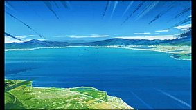
- How do I actually reach the Kemurikusa spot on Okishima?
- Most visitors go via Omi-Hachiman Station, then take a local bus or taxi to Horikiri Port and board the community ferry to Okishima. After arriving at Okishima Port, the lakeside roads are walkable, but ferry timetables are limited so check the latest schedule before departure.
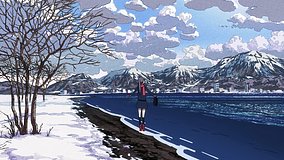
- Can I use Google Street View to match this Kemurikusa scene?
- Street View coverage on Okishima is limited, so scene matching usually relies on map views, user photos, and on-foot comparison rather than full road-level imagery. Fans often compare shoreline angles, seawalls, and house spacing instead of exact sign details.
- Are there any etiquette or photography rules on Okishima?
- Yes—Okishima is a lived-in island community, so stay on public paths, avoid blocking narrow lanes, and do not photograph private homes up close without permission. Services are limited, so bring water and plan around ferry times and local shop hours.